Jack Scheff joins Charlotte Talks to discuss Charlotte’s summer of record heat and drought
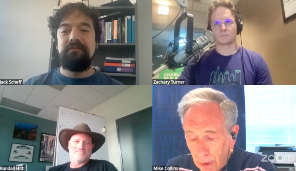
Jacob (Jack) Scheff, Ph.D., associate professor in UNC Charlotte’s Department of Earth, Environmental and Geographical Sciences, joined Randall Hitt of Roof Above and WFAE climate reporter Zachary Turner on Charlotte Talks with Mike Collins to explain how warmer summers and longer dry spells are reshaping daily life, local ecosystems and the regional economy. The conversation looks back at how the region managed another season of climate impacts and what current trends may signal for the months ahead.
A sweltering summer in Charlotte
Charlotte’s summer brought record heat, prolonged drought and shifting climate patterns seen across the U.S. and abroad, including wildfires, flooding and other extreme weather events. Globally, preliminary reports suggest heat contributed to thousands of deaths in Europe during this summer’s heat waves.
“Our summers today are on average a degree or two warmer than they used to be 50 to 100 years ago, which doesn’t really sound like that much, but it can make a lot of difference,” said Scheff. “In other parts of the world it’s much more. In Europe, or in Canada where the wildfires are happening, the summers are actually averaging a few degrees hotter than they used to.”
After months of severe drought not seen since 2007, farms, crops and lake levels faced significant stress, and burn bans increased across the region. Although Mecklenburg County has now shifted from exceptional drought, or D4, to abnormally dry, or D0, restrictions on watering lawns and washing vehicles remain in place.
“We just had month after month after month of below normal rainfall in the region,” Scheff said. “Then the last couple of months we’ve actually finally had some above normal rainfall, and that’s really put a dent in the drought. Our reservoirs are a lot closer to normal now and we’re not classified as being in a severe drought anymore.”
Looking ahead
Many weather agencies previously forecast what could be the strongest El Niño on record, which may significantly affect Hawaii and other parts of the Pacific. This pattern typically suppresses hurricane activity in the Caribbean and the Gulf.
“That’s a bold forecast, and we will have to wait and see how that verifies, but certainly it looks like it’s going to shape up to be quite a strong one,” Scheff said. “When we have a really strong El Niño going on in the Pacific Ocean, that tends to create a lot of thunderstorm and hurricane activity in the eastern Pacific Ocean. All of that rising air, all of that storm activity, has to come and sink down somewhere, so it actually ends up suppressing the storms and hurricanes right near us.”
Written by Emily Hamm